United Nations First High Level Forum on Global Geospatial
Information Management
23 – 27 October 2011, Seoul, Republic of Korea
|

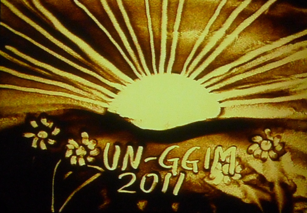
Electronic Sand Art Presentation at the Opening Session depicting
the optimism and hope in this inaugural High Level Forum |
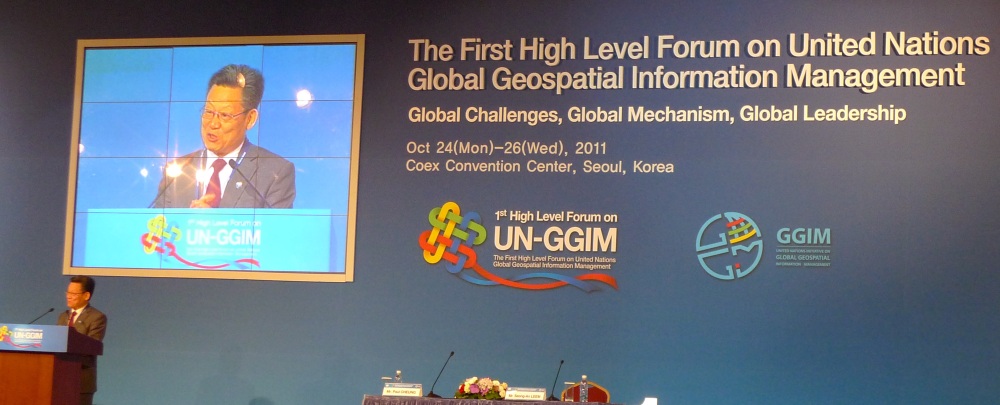
The United Nations First High Level Forum on Global Geospatial
Information Management was opened by the Prime Minister of the Republic of
Korea, H.E. KIM Hwang-Sik, United Nations Under-Secretary-General,
H.E. Sha Zukang and Chair of the Joint Board of Geospatial
Information Societies (JBGIS), Prof. Dr. William Cartwright. The
event was hosted by the Government of the Republic of Korea and chaired by
Mr. LEEM Seong-An, President of Korea’s National Geographic
Information Institute. This inaugural Forum brought together approximately
350 participants from 90 Member States together with 22 representatives from
the United Nations and 37 representatives from international organizations
and the private sector.
At the opening session, the Prime Minister of Korea stressed that
geospatial information is most fundamental and essential to support joint
efforts in resolving global issues and both the United Nations
Under-Secretary-General and the Chair, JBGIS, further affirmed this. The
Ministerial Segment that proceeded the opening session kicked off the Forum
and Ministers from eight Member States argued the important role of
geospatial information in policy formulation and evidence-based decision
making for national development and addressing global challenges. The
Ministers also stressed the importance of working together, whilst Member
States context and circumstances may differ, the benefits of collaboration
and cooperation was highlighted. This was of particular significance for
Member States will lesser capacity as it provided access to additional
capabilities and capacities as well as larger infrastructure that otherwise
would not be available.
Four thematic sessions focussing on Challenges of Geospatial Policy
Formulation and Institutional Arrangement; Developing Common Frameworks and
Methodologies; International Coordination and Cooperation in Meeting Global
Needs and Capacity Building and Knowledge Transfer, followed the Ministerial
Segment.
International geospatial information societies through the Joint Board of
Geospatial Information Societies collectively prepared the keynote
presentation for the third session of the Forum themed “International
Coordination and Cooperation in Meeting Global Needs”. Prof Dr. William
Cartwright made the presentation that was well received. The Forum
recognized the important role of international geospatial information
societies, of which FIG is one of them, as well as standards setting
organizations and welcomed their contributions. Member States also voiced
their support and desire to collaborate with these societies and
organizations to further the vision and goal of UN-GGIM. International
geospatial information societies at the Forum, including FIG, affirmed their
commitment and together with the academia, pledged to use their collective
professional expertise, research and development capacities to help realize
the vision and goal of UN-GGIM, in particular, of building appropriate and
sustainable geospatial information infrastructure at national, regional and
global levels and of enhanced collaboration in the generation, dissemination
and sharing of geospatial information.
The Forum also expressed the need to develop effective strategies for
building and strengthening capacity of Member States where a holistic
capacity building effort was recommended that includes capacity assessment,
capacity enhancement, building of knowledge and institutions, education,
research and outreach as well as an appropriate funding mechanism,
especially in development countries.
It should also be noted that the Forum acknowledged the importance of
effective regional cooperation and urged greater efforts be made in this
regard as coordinated and strong regional activities would build an
effective global geospatial information infrastructure.
FIG together with allied organizations within the JBGIS opined that there
is a need for international coordination on global geospatial information
management with a vision to migrate to a paradigm of managing all
information geospatially. There will be issues that will need to be
addressed including –
- Policy that enabled data sharing;
- Adoption of the highly stable International Terrestrial Reference
Frame (ITRF) as the geodetic datum for all geospatial information;
- Integration of (geospatial) location information in solutions for
social, security, environmental and economic issues;
- Utilization of (geospatial) location-based analysis in
evidence-based decision making;
- Use of visualization representation to clearly communicate issues
and solutions;
- Access to information via web and mobile applications (Apps);
- Educational framework;
- Technical and institutional development of geospatial data
management;
- Development and applicability of management tools in order to make
best use of geospatial data; and
- Development of awareness at all levels of society – citizens,
institutions and decision-makers.
Collaborating on these issues will promote the sharing of information
that is critical to finding solutions to global problems.
This United Nations initiative on Global Geospatial Information
Management (GGIM) aims at coordinating among and between Member States as
well as international organizations to promote the use of geospatial
information to address global challenges. The United Nations First High
Level Forum on Global Geospatial Information Management was the culmination
of over two years of leadership, efforts and preparation led by the United
Nations Statistics Division and the United Nations Cartographic Section.
Three preparatory meetings on Global Geospatial Information Management were
convened - the first in Bangkok in October 2009, prior to the 18th UNRCC-AP,
the second in New York, in May 2010, and the third also in New York, in
April 2011. FIG together with other allied organizations from the Joint
Board of Geospatial Information Societies (JBGIS) participated and
contributed toward this effort.
CheeHai TEO
President
October 2011
|

United Nations Under-Secretary-General, H.E.
Sha Zukang
addressing the Forum during the Opening Session |
11 November 2011
|